Clouds!
Study shows that clouds indicate the effects of global warming
Introduction (and background information)
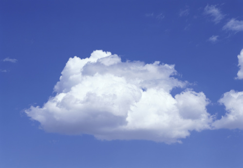
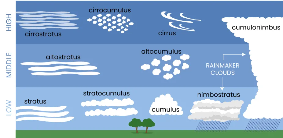
Clouds are found in the sky. It is common to think that clouds are simply made up of water vapour, but this is wrong. Clouds are made up of condensed water and ice particles. Clouds can be grouped (and usually are grouped) into different categories. Most clouds are categorised based on where they are- by height. However, certain types of clouds are categorised by their unique characteristics. Warm, moist air is not as dense as air, so it rises up and when its cool enough, condenses to form clouds. Water vapour will not condense to form clouds without help from other particles like dust, sea salt and smoke, which are naturally in Earth's air. These particles are then called condensation nuclei (nucleus). Clouds are an indicator of global warming too and they have a large effect on the Earth's temperature as they act as Earth's natural sunscreen, absorbing sunlight and warmth.
Did You Know?
When flying with a plane, there are still clouds above you. Planes typically cruise at around 9- 12 kilometres and certain clouds can be found around 13 kilometres from the ground.
Rainclouds
Nimbostratus
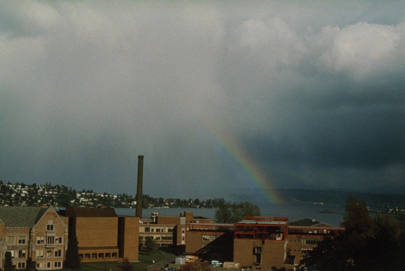
Nimbostratus clouds are flat clouds that lie low above the ground. They usually have a large area and it is usually very difficult to see their edges because they are so large (not in terms of height). They are usually quite grey- quite dark too- and are one of the two clouds capable of raining.
Cumulonimbus
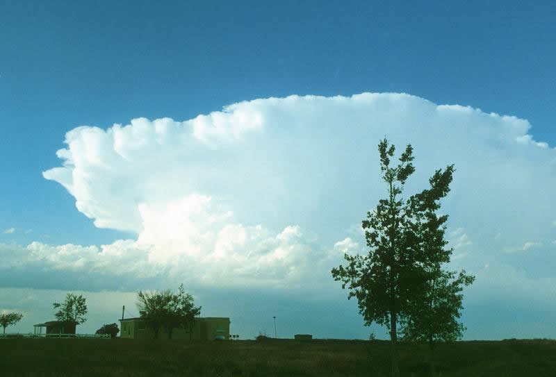
Cumulonimbus clouds are clouds that (mainly) grow vertically. They are capable of growing up to 10 kilometres high, at which point the wind will flatten them out. These clouds are thunderstorm clouds and usually cause heavy weather like hurricanes, snowstorms, hail(storms) and thunderstorms.
Low lying clouds
Cumulus

Cumulus clouds, like cumulonimbus clouds, grow vertically, but not nearly as high up. They are usually about 01 kilometre wide and cause fair weather (like cloudy or windy weather) as well as light rain/rain showers.
Stratus
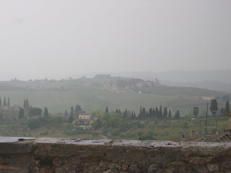
Stratus clouds are grey clouds which look like fog that doesn't quite reach the cloud. They usually cover the sky. A phenomenon called fog tearing takes place with this clouds. Fog tearing is when there is a lot of moisture and lots of water droplets which feel and behave like very light rain.
Stratocumulus

Stratocumulus clouds are lumpy clouds which either spread out or line up. They are grey and are capable of giving us light rain showers.
Middle lying clouds
Altocumulus

Altocumulus clouds are usually found in groups and a part of such a cloud is usually darker than the other.
Fun Fact: If altocumulus clouds are to be seen on a hot, humid morning, there will probably be rain, if not a thunderstorm, in the late afternoon.
Altostratus
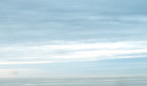
Altostratus clouds are grey or bluey grey clouds that cover the sky in a thin layer. The sun can still get through, but it will look fuzzy/blurry. These clouds can rain occasionally, but they would lower themselves and become nimbostratus clouds if they do so.
Fun Fact: If lots of these clouds are visible, there is a high chance of continous rain.
Clouds that are high in the sky
Cirrus
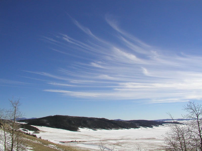
Cirrus clouds are made of ice crystals- not condensed water- and are quite thin, a bit like strings, just wider. They usually appear in Winter and signal a warm front if there are lots of them, which are then followed by cirrostratus clouds (for which information will be given below).
Cirrostratus
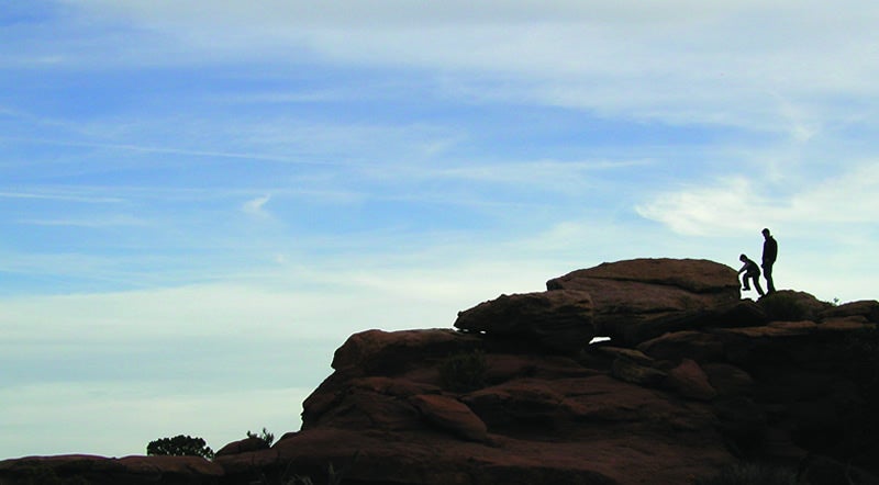
Cirrostratus clouds are similar to cirrus clouds. They are thin and cover the sky, but let sunlight through very easily. They are made up of ice crystals, like cirrus clouds. These clouds usually appear up to a day before storms.
Cirrocumulus
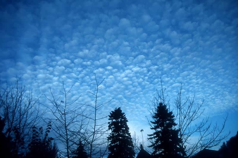
Cirrocumulus clouds are small, puff like clouds and appear mainly in winter. They indicate a fair winter. One could say that they look like scales.
Clouds that are not grouped by height
Contrails

"The white streaks you see coming off high-flying jet airplanes are called contrails, which is short for condensation trail. Contrails are clouds that form when water vapor condenses and freezes around small particles (aerosols) in aircraft exhaust. The water vapor comes from the air around the plane and the exhaust of the aircraft. These contrails can become human-made cirrus clouds. Contrails last longer when there is a greater amount of water in the air; when all of the water in the clouds evaporates the contrail disappears. There are three types of contrails: short-lived, persistent non-spreading, and persistent spreading." (01)
Kelvin-Helmholtz

Kevin-Helmholtz clouds look like waves, especially those found in certain animations. "After wind blows up and over a barrier, like a mountain, the air continues flowing through the atmosphere in a wavelike pattern. Complex evaporation and condensation patterns create the capped tops and cloudless troughs of the waves. These clouds form when there is a difference in the wind speed or direction between two wind currents in the atmosphere."(01)
Lenticular
 "Lenticular clouds form downwind of an obstacle in the path of a strong air current. Wind blows most types of clouds across the sky, but lenticular clouds seem to stay in one place. Air moves up and over a mountain, with the lenticular cloud forming just past the mountaintop. The cloud evaporates on the downwind side, so it appears stationary even though air is moving through the cloud. Lenticular clouds are lens-shaped and often look like flying saucers."(01)
Clouds in relation to global warming
There has been a significant decline in low level clouds, which (amongst other clouds) act as the Earth's natural sunscreen.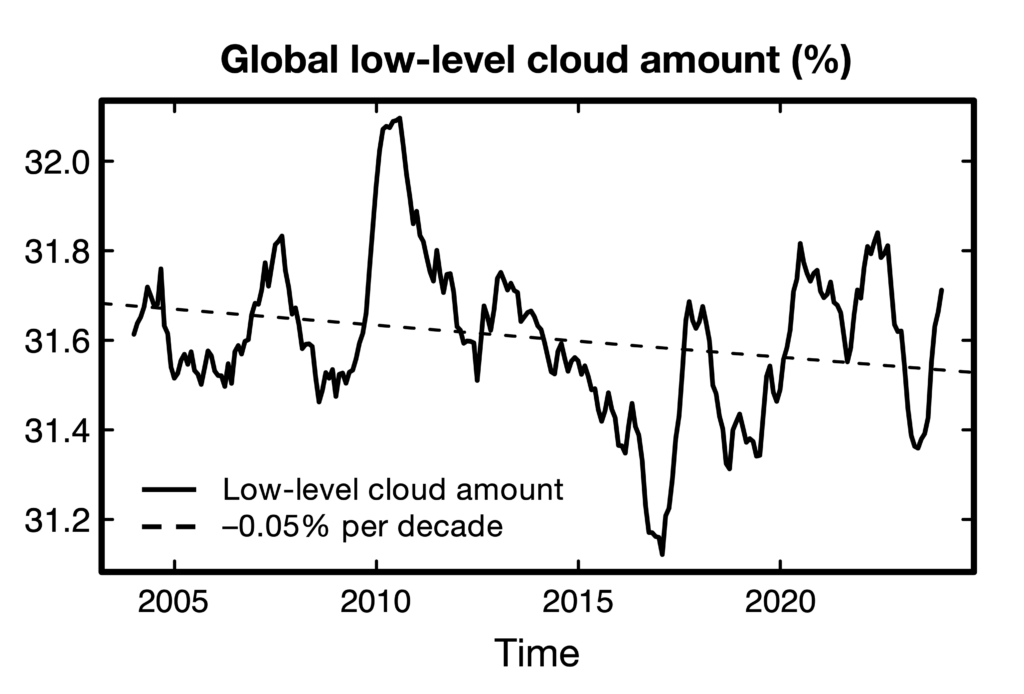
The amount of low level clouds fluctuates, but there is a clear downward trend, which contributes to global warming and, ironically, is caused by global warming and its side effects. There are three main reasons for this:
- Aerosol emissions (see contrails) have reduced in the past years due to the effort(s) made to clean up the air and reduce air pollution. It's ironic really- the very thing humans are doing to improve the quality of their lives is what's contributing to worsening it.
- The increase of greenhouse gases in the air has reduced the humidity of it, which makes it far more difficult for clouds to form and maintain themselves.
- This is rather amusing- the decrease of cloud cover allows more heat to be absorbed by the ocean, which affects atmospheric humidity and so, cloudiness. Reduced cloudiness means more ocean warming and so on. It's a paradox called "cloud feedback".
Sources:
- https://scied.ucar.edu/learning-zone/clouds/cloud-types
- https://ssec.si.edu/stemvisions-blog/what-are-clouds
- https://www.preventionweb.net/news/how-declining-cloudiness-accelerating-global-warming


